Zoning and permitting
Management framework
Introduction
Marine environments are typically subject to multiple uses including commercial fishing, recreation, tourism, and transport. The activities allowed or undertaken are often defined by a marine management area’s ordinance or tied to goals. MPAs that are multi-use allow defined activities to take place through the use of zoning.
MPAs may host an array of habitats, some of which may be important to marine mammal species of interest, and/or may not extend over large areas. Therefore, MPA managers should aim to provide a balance between conservation interests (only some of which may involve marine mammals) and area use. This could involve control over what activities should be permitted, where they should be allowed to occur, the extent of each activity, and the manner in which it should be conducted, in order to adhere to the goals of the MPA.
What is zoning?
Zoning is a key management tool for multi-use MPAs. Zoning helps to manage and protect the social, cultural, traditional and/or ecological values of the MPA [1], setting aside areas for particular activities such as key habitats, aggregation or breeding sites, education, recreation, or tourism [2]. Defining zones throughout the management area where particular activities can take place facilitates the separation of conflicting activities [1].
Each type of zone in an MPA will have differing ordinance for where and when activities are permitted [1]. An MPA zoning plan will be driven by the overall goals of the MPA, the value of other uses, and the influence of users of the MPA. With respect to marine mammals, a zoning plan should provide protection to marine mammals from detrimental activities in areas of the MPA crucial to life history (critical areas), either permanently or on a seasonal basis if the species of interest are migratory.
Creating a zoning plan that protects cetaceans
There are many strategies for creating an MPA system of zones, and these will depend on the goals of the MPA. With respect to marine mammals, all available ecological and behavioural information should be assembled (and where possible, obtained if needed) in order to map the critical habitat of the target marine mammal species [3]. Secondly, spatial and temporal data on actual and potential human activities, as well as identified impacts, should also be integrated and mapped. Areas that are deemed critical or particularly sensitive should be given stricter levels of protection with fewer or no activities permitted [4].
A form of formal or informal Environmental Impact Assessment (EIA) should take place before implementing an MPA zoning plan, by considering potential impacts of different activities on marine mammals and assessing the compatibility or otherwise of each. A transparent communicative process with all MPA stakeholders should also form a critical component of the planning phase. This will limit future conflict, protect values and increase compliance. This information will dictate or influence the design of zoning plan in the MPA [5].
Permits
and impact assessment
A system of permits that integrates the impacts of activities allows MPA managers to control and monitor human activities within the MPA, as well as setting out the conditions under which an activity can take place, either within the MPA or particular zones. Permits may be supported by detailed regulations, such as quotas, gear types, or vessel speed and may require supporting documentation such as an EIA.
An EIA also should be compulsory prior to the any new or expanding activity likely to pose a risk to marine mammals, using best-practice EIA methods. This should apply to on-water (eg. Expansion of whale- or dolphin-watching activities) or extractive (eg. commercial fishing) activities, or development of on-water (e.g. pontoons) or coastal developments [6].
Case study
Great Barrier Reef zoning plan (Australia)
Case study – Great Barrier Reef zoning plan (Australia)
The Great Barrier Reef Marine Park Authority (GBRMPA) implemented a Zoning Plan in 2004, after an exercise involving bioregion mapping, systematic conservation planning, consideration of the distribution and intensity of human uses within the Marine Park, and extensive public consultation.
Zones cover the entire marine park (343,966 km2), and denoting what activities are allowed, which are prohibited, and which activities require a permit. These include (in rough order of levels of protection General Use (open to commercial and recreational fishing including trawling), Habitat Protection, Conservation Park, Buffer, Scientific Research Marine National Park and Preservation zones, in order of levels of protection through the types of activities that are permitted [1].
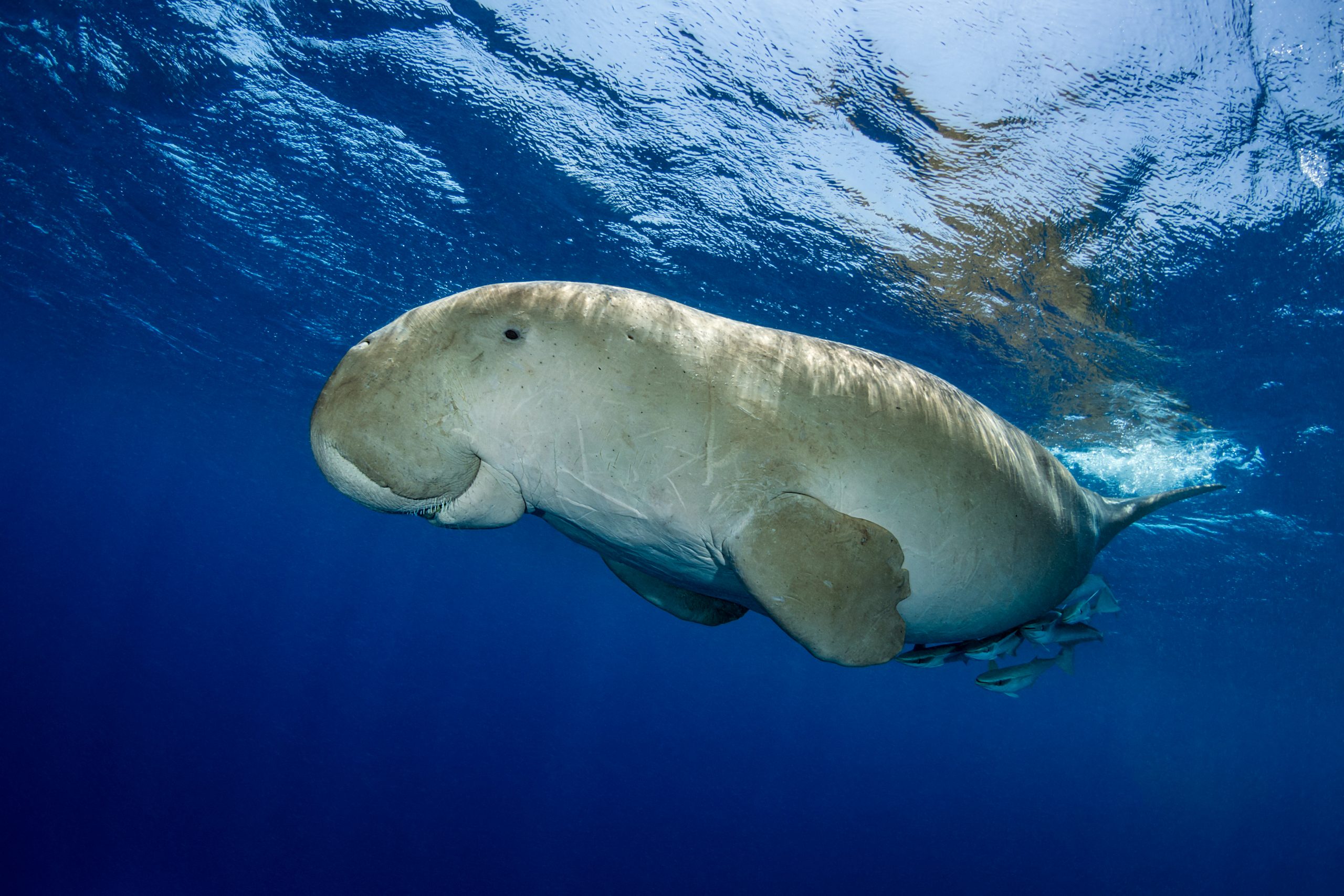
In addition, specific Dugong Protection Areas, provide increased protection from specific threats such as boat-strike and net-fisheries.
Read more about Dugong Protection Areas

Resources
& references
• Vertical zoning of MPAs: When it is appropriate, when it is not, and how science is changing our understanding
• Incorporating Conservation Zone Effectiveness for Protecting Biodiversity in Marine Planning
• Concept of zoning management in protected areas
[1] GBRMPA: What is Zoning?
[2] IUCN 2004. Managing Marine Protected Areas: A Toolkit for the Western Indian Ocean. IUCN Eastern African Regional Programme, Nairobi, Kenya, xii + 172pp.
[3] Hoyt, Erich. Marine Protected Areas for Whales, Dolphins and Porpoises: A World Handbook for Cetacean Habitat Conservation and Planning, Routledge, 2011.
[4] Clark, J., Dolman, S.J. and Hoyt, E. 2010. Towards Marine Protected Areas for Cetaceans in Scotland, England and Wales: A scientific review identifying critical habitat with key recommendations. Whale and Dolphin Conservation Society, Chippenham, UK, 178pp.
[5] EIA Topic: Marine Mammals
[6] Hawkins ER, Harcourt R, Bejder L, Brooks LO, Grech A, Christiansen F, Marsh H and Harrison PL (2017) Best Practice Framework and Principles for Monitoring the Effect of Coastal Development on Marine Mammals. Front. Mar. Sci. 4:59
Licensing of scientific research activities in Bermuda’s Exclusive Economic Zone (EEZ)
Related news
Download pdf page:
![]()
Share this factsheets: